Intelligent aerial systems
for critical missions
Canary Aerospace designs, engineers, and manufactures advanced unmanned aerial systems in India, for defense, homeland security, public safety, industrial operations, and critical enterprise missions.
From critical infrastructure, energy networks, utilities, industrial facilities, agriculture, construction, logistics, and large-scale enterprise operations to public safety, emergency response, environmental monitoring, and high-risk inspection environments—our autonomous drone intelligence platform helps organizations operate with greater speed, accuracy, safety, visibility, and control.
AI-powered. Autonomous.
Mission-ready.
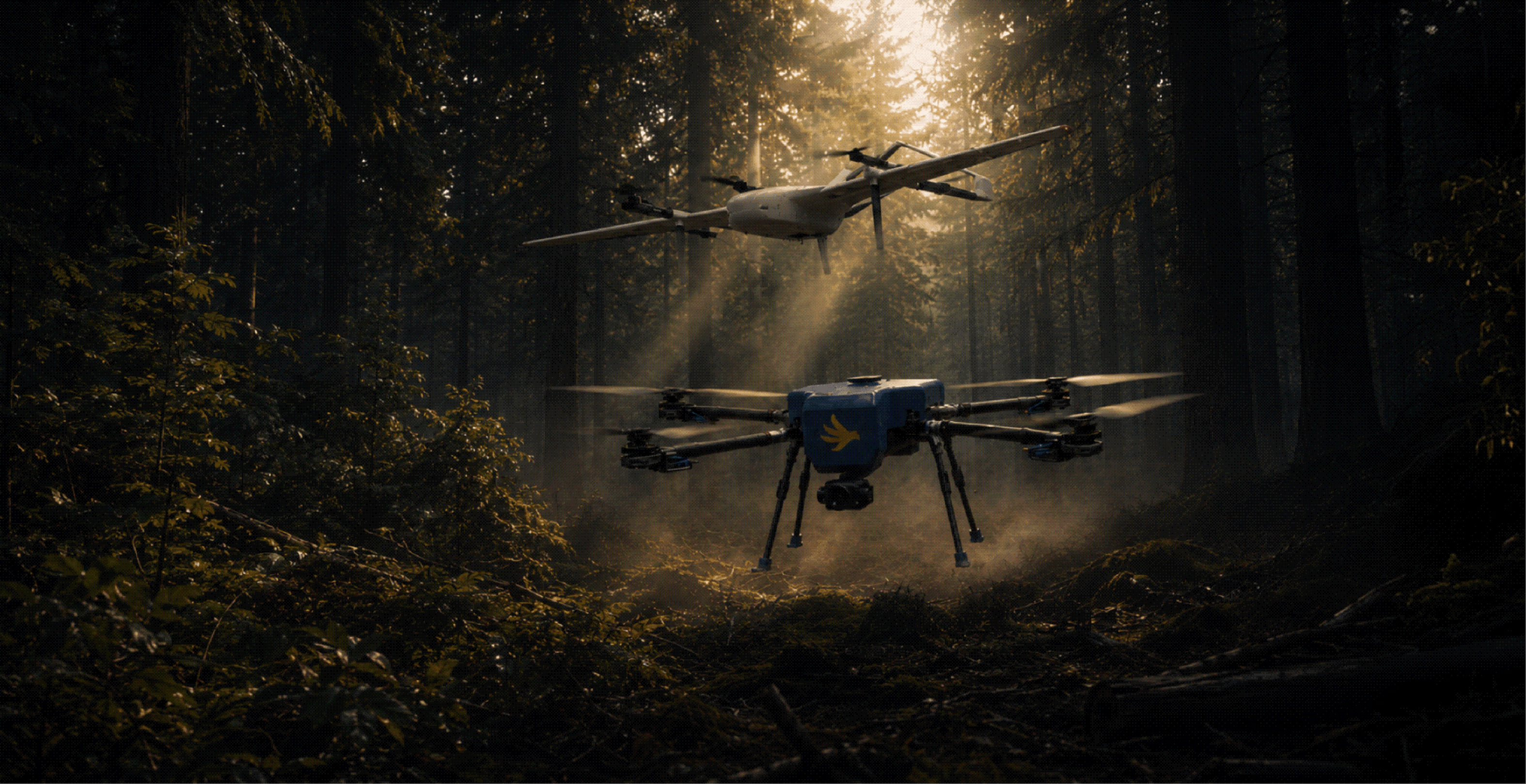
Canary Aerospace platforms combine unmanned aviation with intelligent software across detection, navigation, and secure data transmission.
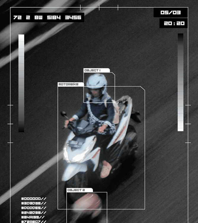
AI Detection & Tracking
AI-powered object, vehicle, and human detection with target identification and movement tracking.

Autonomous Navigation
Autonomous navigation and mission planning engineered for challenging terrain and contested environments.

Real-Time Surveillance
Live aerial surveillance and analytics with secure, encrypted video transmission to command.
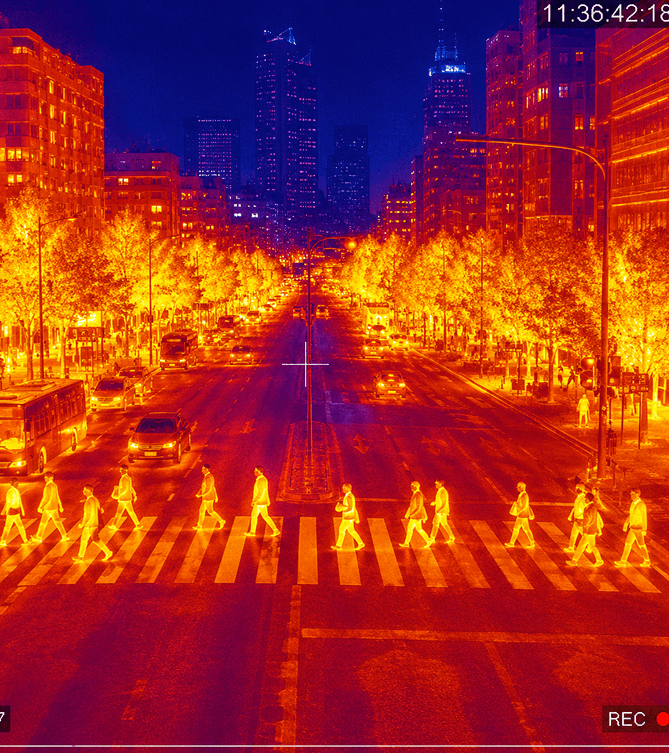
Thermal and multispectral intelligence
Live aerial surveillance and analytics with secure, encrypted video transmission to command.
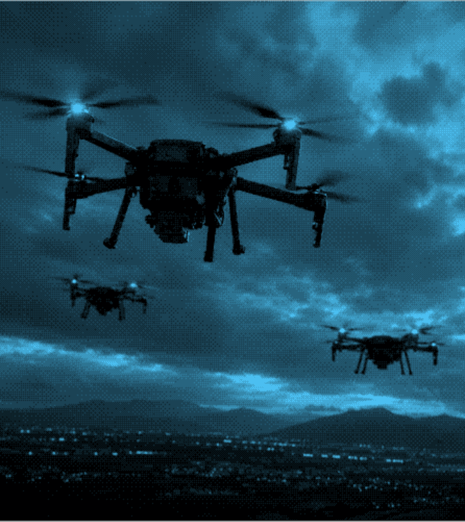
Swarm Coordination
Multi-drone operations with coordinated tasking through command-and-control system integration.
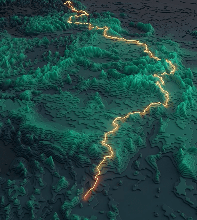
Terrain & Geospatial Mapping
High-precision terrain mapping and geospatial analysis for planning and situational awareness.

Mission
Engineered Around the Mission
Each platform is engineered around the operational requirements of the mission whether that involves extended endurance, autonomous navigation, high-precision imaging, thermal detection, payload delivery, real-time monitoring, or deployment in challenging terrain.
Defense & Strategic Operations
Mission-focused aerial platforms for intelligence, surveillance, reconnaissance, perimeter monitoring, tactical awareness, border observation, logistics support, and operations in high-risk environments.
Anti-Terror Operations
Reliable aerial intelligence, real-time surveillance, and rapid threat assessment across urban, remote, and challenging terrains.
Border Security
Continuous aerial surveillance and intelligent perimeter monitoring to detect suspicious activity in inaccessible regions.
Coastal Security & Surveillance
Wide-area maritime monitoring, supporting vessel tracking, threat detection, coastal patrols, and search operations.
Crime Control & Public Safety
Intelligent aerial surveillance for crime prevention, suspect tracking, crowd observation, and emergency response operations.
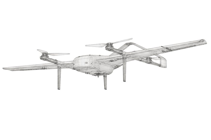
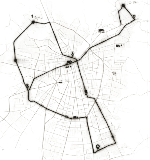
Mapping & Surveying
Survey-grade aerial mapping systems that capture accurate geospatial data across the toughest terrains — from dense urban infrastructure and industrial corridors to forests, mines and remote high-altitude regions.
Land Survey & Mapping
High-resolution aerial mapping and rapid data collection for construction, infrastructure, mining, and GIS applications.
Mining Area Planning
Detailed aerial surveys for pit planning, haul-road design, stockpile monitoring, and regulatory compliance.
Volumetric Estimation
High-resolution volumetric data for stockpiles, excavation areas, and cut-and-fill measurement.
Oil & Gas Operations
Pipeline surveillance, facility assessment, and leak and hazard identification with reduced inspection time and risk.
Logistics Technologies
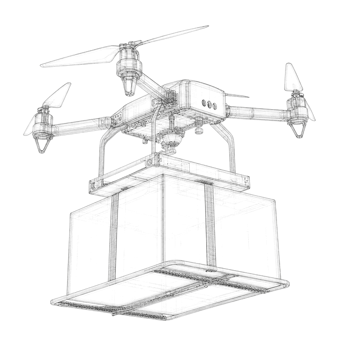
Autonomous aerial logistics systems that move critical cargo where roads cannot — delivering supplies to forward posts, remote communities and disaster zones with speed, precision and reliability.
Enterprise Logistics
Autonomous heavy-lift systems for reliable middle-mile cargo across mining, oil and gas, infrastructure, and hard-to-access locations.
Military Logistics
VTOL platforms for forward-post resupply, casualty evacuation, and critical equipment delivery across remote theatres.
Mission
Built for the Mission.
Backed for the Lifecycle.
Sovereign Technology, Built in India
Airframes, flight-control systems, mission software, and core technologies are designed and developed in-house in India — ensuring complete control over system performance, technology upgrades, supply-chain continuity, and long-term operational readiness.
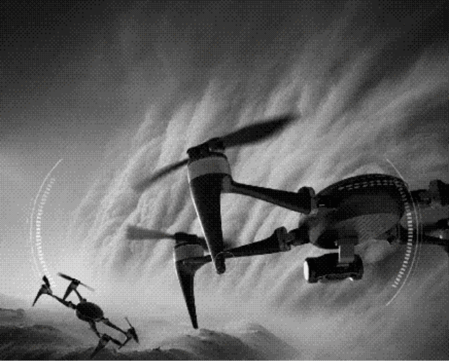
Proven in the Harshest Environments
Each platform is engineered for dependable performance across extreme temperatures, high-altitude regions, rugged terrain, and demanding field conditions. Redundant systems, intelligent fail-safes, and resilient autonomy maintain mission continuity when conditions become unpredictable.

Mission Data Remains Secure
Encrypted communication links, protected onboard storage, secure access controls, and controlled data architecture safeguard sensitive operational information — developed to meet the security requirements of defense, homeland security, and government missions.

One Partner. Complete Mission Readiness.
From initial demonstration and mission planning to deployment, operator training, maintenance, software upgrades, and technical support — every stage is managed through a single accountable partner for faster implementation and reliable lifecycle support.
AI-Powered
Autonomous Intelligence
Precision Flight
Stable and Reliable Operations
Multi-Sector
Built for diverse operations
Scalable Systems
From Single Drone to Fleet Operations

About Canary Aerospace
Built for National Security. Engineered for Mission Readiness
- Canary Aerospace is an Indian unmanned aerial systems company developing advanced aerial platforms and mission technologies for defense, homeland security, government agencies, and critical industries.
- We design, manufacture, integrate, and support UAV systems that deliver enhanced situational awareness, actionable intelligence, and greater operational capability across complex and high-risk environments.
- Every solution is supported throughout its operational lifecycle — from mission assessment and system deployment to operator training, maintenance, upgrades, and dedicated technical support — ensuring dependable performance, sustained readiness, and complete accountability in the field.

Contact
Let's Discuss Your Mission Requirements
Connect with the Canary Aerospace team to explore mission-specific UAV solutions, platform demonstrations, technical capabilities, procurement requirements, and strategic partnership opportunities.